Drone Survey
Utilize drones (UAVs) to capture high-resolution aerial data with downward-facing sensors, providing detailed imagery and coordinates for various applications.
Get Precision Aerial Data with Drone Surveys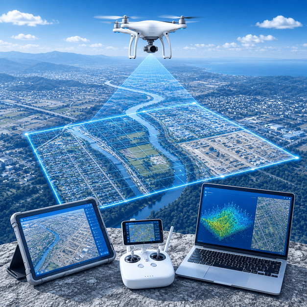
Utilize drones (UAVs) to capture high-resolution aerial data with downward-facing sensors, providing detailed imagery and coordinates for various applications.
Get Precision Aerial Data with Drone Surveys
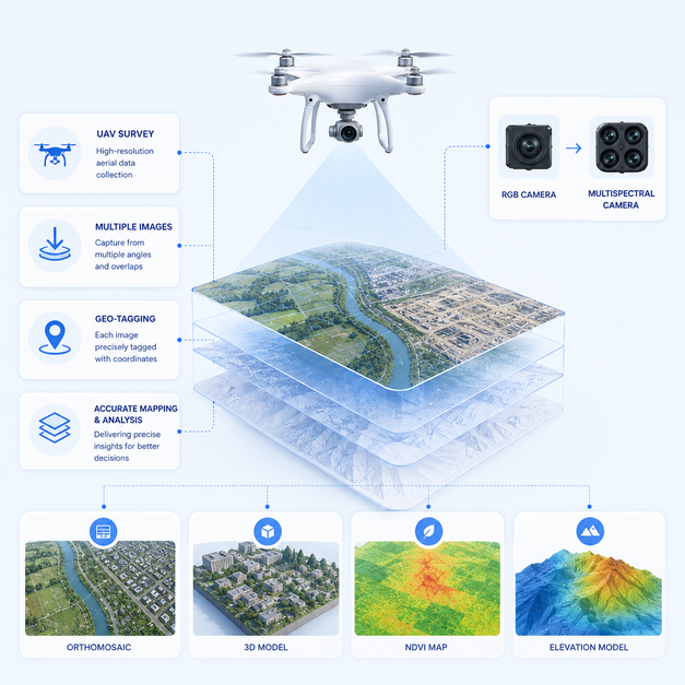
Our Drone Survey services utilize advanced Unmanned Aerial Vehicles (UAVs) equipped with high-resolution downward-facing sensors, including RGB and multispectral cameras. We meticulously capture aerial data, photographing ground areas multiple times from diverse angles, each image precisely geo-tagged with coordinates for accurate mapping and analysis.
Why this service stands out
Acquire extensive spatial data significantly faster than traditional survey methods.
Receive highly precise imagery and 3D models for critical decision-making.
Reduce survey costs and resources compared to conventional ground surveys.
Minimize human exposure to dangerous or inaccessible areas during data collection.
Visualize sites in detail, leading to more informed and efficient project planning.
Applicable across industries like construction, agriculture, mining, and urban planning.
What makes this service stand out
Capturing crystal-clear photographic data with unprecedented detail for comprehensive site assessments.
Each image is tagged with accurate GPS coordinates, ensuring precise location data for mapping and analysis.
Creating detailed three-dimensional models of terrains, structures, and objects from drone imagery for advanced visualization.
Accurately measuring stockpiles, cut-and-fill volumes, and distances for construction and resource management.
Using specialized cameras to collect data beyond the visible light spectrum for agricultural and environmental analysis.
Generating highly accurate, georeferenced aerial maps with uniform scale, perfect for detailed planning and analysis.
How we deliver results
Defining flight paths, coverage areas, and securing necessary permits for drone operations.
Executing drone flights to capture aerial imagery and sensor data according to plan.
Processing raw drone data to generate orthomosaics, 3D models, and other deliverables.
Presenting analyzed data in user-friendly formats, including maps, reports, and digital models.